


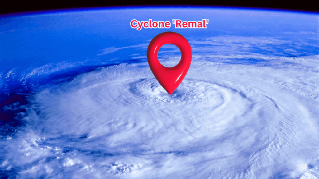
The cyclone Remal has formed in the Bay of Bengal and is moving closer to the coast. According to the Alipore Meteorological Department, ‘Remal’ is expected to make landfall on the coastlines of Bangladesh and West Bengal around midnight on Sunday. This has led to a red alert being issued for several South Bengal districts for Monday and Tuesday due to anticipated severe weather conditions.
Recent Updates
As of Sunday morning, Alipore reported that ‘Remal’ had gradually advanced towards the coast over the last six hours with a speed of six kilometers per hour. The cyclone is currently positioned in the northern Bay of Bengal and is expected to intensify within the next six hours. Its current position is approximately 300 kilometers south-southwest of Khulna, Bangladesh, 290 kilometers south-southeast of Sagar Island, West Bengal, 410 kilometers south-southeast of Digha, and 320 kilometers south-southeast of Canning.
Once ‘Remal’ gains more strength over the sea, it is predicted to make landfall around midnight on Sunday. The weather office forecasts that the cyclone will strike between Khulna in Bangladesh and Sagar Island in West Bengal. At landfall, wind speeds are expected to range from 110 to 120 kilometers per hour, with gusts potentially reaching up to 135 kilometers per hour.
Red Alerts for Cyclone Remal in West Bengal
Due to the impending cyclone, a red alert has been issued for Kolkata, North and South 24 Parganas, East Midnapore, Howrah, and Hooghly. These districts are expected to experience heavy to very heavy rainfall on Sunday and Monday. Additionally, Nadia and Murshidabad could see intense rainfall on Monday.
In the two 24 Parganas, alongside heavy rain, gusty winds with speeds between 100 and 120 kilometers per hour may occur due to the cyclone. Kolkata may experience maximum wind speeds of up to 90 kilometers per hour. Similar wind conditions are expected in Howrah, Hooghly, and East Midnapore. Gusty winds might also affect Nadia and East Burdwan, though at relatively lower speeds.
In North Bengal, light to moderate rainfall is forecast until Monday, but the rain is expected to intensify on Tuesday. Districts such as Cooch Behar, Jalpaiguri, and Alipurduar could see heavy to very heavy rainfall, prompting a red alert in these areas.
The Sea Conditions
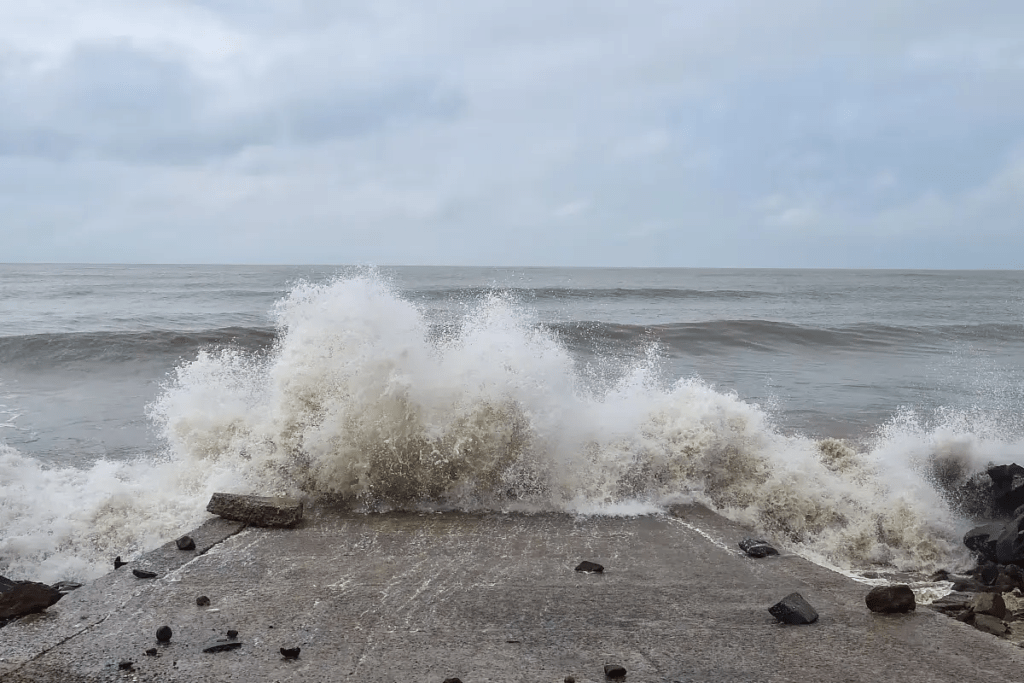
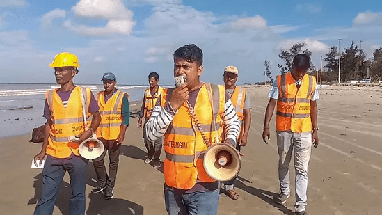
The sea conditions are expected to become very rough due to the cyclone. The weather office has warned that strong winds with speeds of 90 to 120 kilometers per hour may blow over the sea on Sunday and Monday, leading to high waves. Consequently, a complete ban on fishing activities in the sea is in effect.
Rain has already begun in Kolkata since Sunday morning, with drizzle observed in some areas and overcast skies. The maximum temperature in Kolkata on Sunday was recorded at 37 degrees Celsius. However, the temperature is expected to drop significantly due to the storm and accompanying rainfall.
For more updates – Today News